
Perimeter Trail
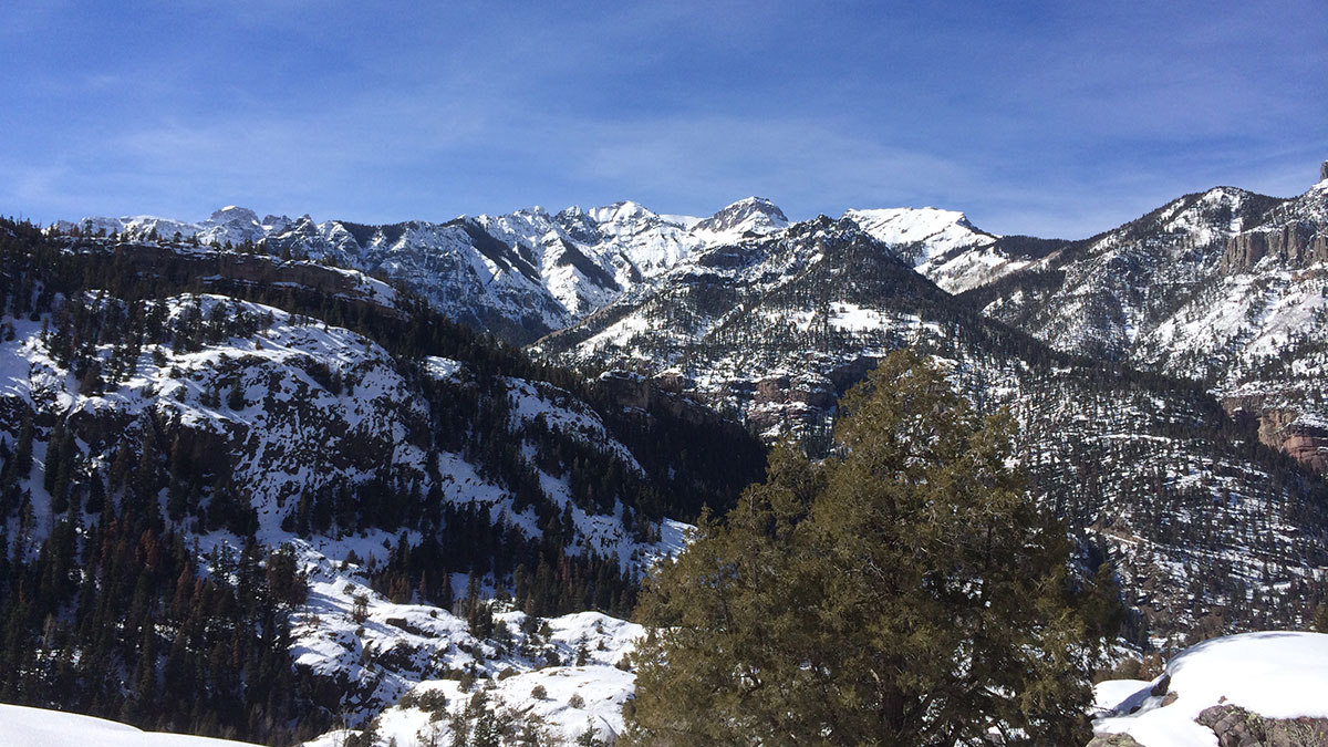
Ouray's Perimeter Trail is a unique six-mile hiking experience that features remarkably varied terrain, unmatched scenery, four waterfalls, five bridges, up close geology and a hidden troll. Hiking it involves approximately 1,800 feet of elevation gain and loss and will typically take 4-5 hours to complete. There are several places along the trail where one can leave or access the trail, so the entire six miles does not have to be hiked to return to town.
Trails from Ouray
- Ouray Perimeter Trail
- Old Horsethief
- Uncompahgre River Walk Loop
- Twin Peaks - #207 - The Old Twin Peaks Trail
- Sutton Overlook / Neosho Mine
- Silvershield
- Portland - The Portland Mine Trail
- Portland - The Portland Trail
- The Oak Creek / Twin Peaks / Silvershield Lower Loop
- The Oak Creek / Silvershield Upper Loop
- Cascade - The Upper Cascade Falls and Chief Ouray Mine Trail - #213
- Cascade - Portland / Cascade Trail Tie
- Cascade - Fifth Avenue/Cascade Trail Tie
- Cascade - The Amphitheater / Cascade Trail Tie
- Bear Creek South Fork
Trails Northeast of Ouray
- Wetterhorn Peak Trail
- Wetterhorn/Middle Canyon/Saddle - The Wetterhorn Basin Trail
- Upper East Fork
- Matterhorn
- Old Horsethief
- Horsethief Trail
- Stealey Mountain North - Via Owl Creek Pass Trailhead
- Stealey Mountain South - Via Cow Creek Trailhead
- Difficulty Creek
- Dexter Creek / Overlook
- Cutler Creek
- Cow Creek
- Courthouse Mountain
- Cimarron - The West Fork of the Cimarron Road
- Cimarron - The Middle Fork of the Cimarron - Waterfall