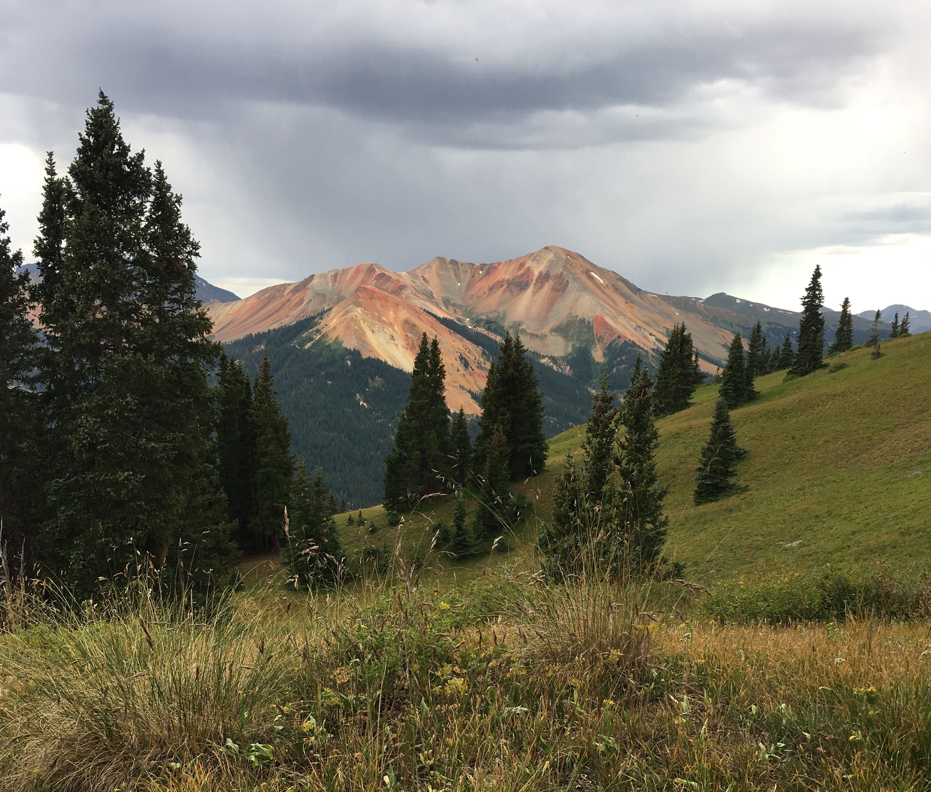
Full Moon / Richmond Loop

Trail Details
| Round Trip | 4.0 miles |
| Starting Altitude | 9,700ft |
| Highest Point | 11,800ft |
| Elevation Gain | 2,100ft |
| Round Trip | 4 hours |
TRAILHEAD:
The Ironton trails begin 7 miles south of Ouray on US 550; parking for Crystal Lake trailhead at the northern end of the Ironton valley is on the left, south of the St. Germain Foundation stone building. Go south another .9 mile to the Larson Brothers mine. Park there or continue .7 mile north on the Mears Trail to the Full Moon trailhead.
ATTRACTIONS AND FEATURES:
The trail climbs 2.5 miles and 2,200' to meet the Richmond Trail at 11,800', making a good loop with a downhill 1.5 miles on Richmond to US 550. Don't miss a lunch break at a wonderful overlook of the valley at the first open meadow. It's a .6 mile walk north on US 550 back to the parking area at the Larson Brothers mine. The Full Moon Trail can also be done as a scenic out and back, with great views of the Red Mountain area.
- Hits: 10061