Hiking Trail Conditions Update June 30, 2022
Trail Closures
Hiking Trail Conditions Update
Covering Trails near Ouray, Ridgway, and the Cimarrons June 30, 2022
The Richmond Trail from the Highway 550 Trailhead to the junction with the Full Moon Trail is closed by the U.S. Forest Service until December to protect public safety during reclamation of the nearby Irene Mine. The upper Richmond Trail and Richmond Pass can be reached via the Full Moon Trail. To our knowledge, all other trails in our area are open and accessible.
Trails and roads to trailheads at all elevations are mostly snow-free, but a few snow or ice patches may persist in shaded or drifted areas above treeline. Streams are mostly running at normal flows and are crossable on roads and trails, but always be aware of flooding, rockfall, and of course lightning hazard from rainstorms that are now frequent.
Trail Conditions
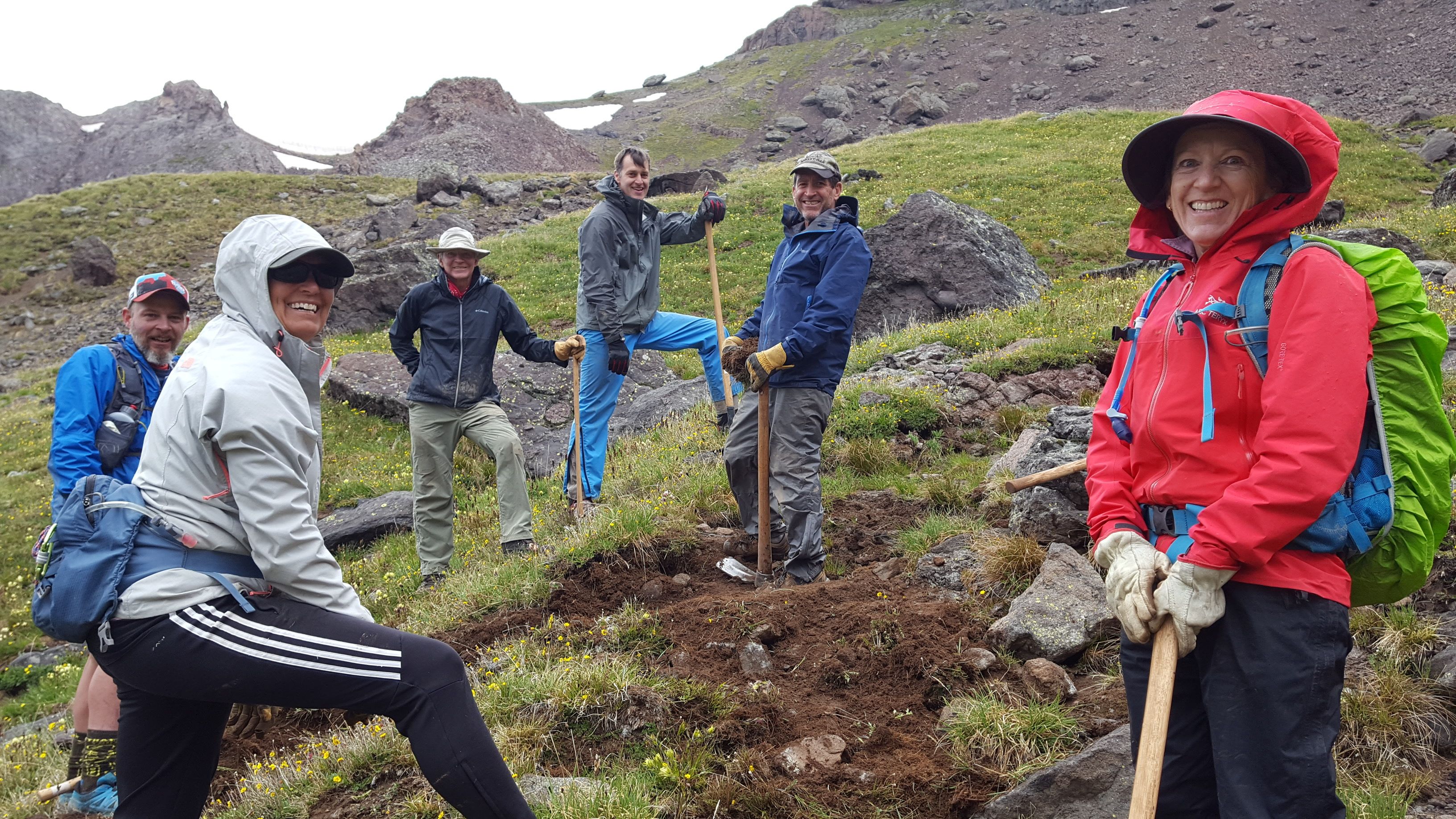
U.S. Forest Service contractors, volunteers of the Ouray Trail Group, and other Forest Service collaborators have cleared down trees, brush, and debris from most trails near Ouray and in the Highway 550 and County Road 361 corridors, and some trails farther afield in the Uncompahgre Wilderness. Some specific trail conditions to note:
Baldy Peak area trails (Baldy, Okeson, Shortcut, Left Fork Cutler, and Cutler Creek Trails)- Several down trees on the trail require care to pass over or around.
Bear Creek Trail- A rough section remains about 2.3 miles up from Highway 550 Trailhead, where the trail crosses a steep debris slope above the creek. Rough repairs have been made, but use extreme caution crossing this section.
Blue Lakes Trail-open throughout. In July expect a Forest Service contracted work crew on the trail between the County Road 7 Trailhead and Blue lakes Pass. The trail on the steep alpine slope east of the pass is damaged by rockslides and debris flows and has poor footing. Use extreme caution passing this section.
Read more …Hiking Trail Conditions Update June 30, 2022
- Hits: 1000
Hiking Trail Conditions Update June 10, 2022
Trails and roads to trailheads below 10,500 feet elevation are mostly snow-free and accessible, but some snow patches persist in shaded or drifted areas. Above 10,500 feet elevation expect the possibility of snow or ice in places on trails. Streams are running lower than usual for this time of year from snowmelt, but some stream crossings may be dangerous or impassable.
Trail Maintenance
Volunteers with the Ouray Trail Group or other Forest Service collaborators have cleared down trees and brush and repaired the tread surface of the following trails this season:
Alpine Mine Trail- entire
Bear Creek Trail- rough preliminary repair to a blowout section 2 miles up from Highway 550 Trailhead Blain Basin Trail- to first basin near treeline
Corbett Trail- entire
Corbett Canyon Trail- entire
Dallas Trail- from County Rd 17 Trailhead to 2.5 miles up, and County Rd 7 Trailhead 2 miles east Dexter Creek Trail- from Trailhead to 2.2 miles up
Horsethief Trail- from Trailhead to Bridge of heaven
Ice Park Trail- entire
Oak Creek Trail- from Pinecrest Rd Trailhead up 1 mile to junction with Twin Peaks Trail, and
from Silvershield Trail junction to Corbett Canyon Trail junction Old Horsethief Trail- entire
Old Twi Peaks Trail- entire
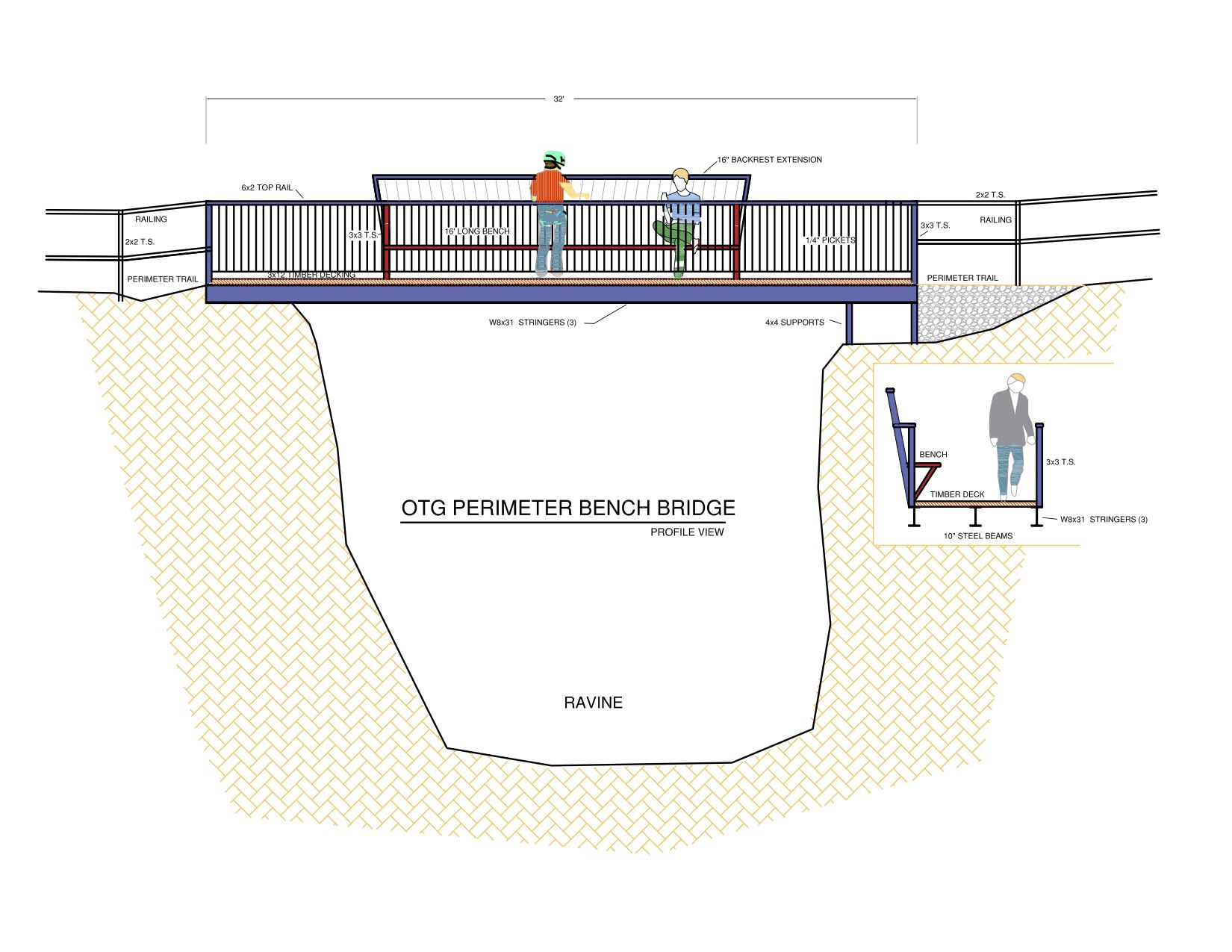
Perimeter Trail- entire
Portland Trail and connector to Upper Cascade Trail- entire Silvershield Trail- entire
Sutton-Neosho Trail- entire
Twin Peaks Trail-entire
Upper Cascade Trail- entire
Weehawken Trail- from County Rd 362 Trailhead to about 1 mile above junction with Alpine Mine Trail
NOTE: Conditions change daily, and you may encounter newly fallen trees or other obstacles on these trails. Other trails likely have down trees or other obstacles in places, particularly in drier forests below 10,000 feet elevation. Most are easily bypassed but be careful. To report trail problems, go to our website at www.ouraytrails.org.
Other Trail Notes
The Blue Lakes Trail from the County Road 7 Trailhead has several down trees that can be bypassed. Expect some snow and ice on trail near and around the lower lake.
The Oak Creek Trail has large numbers of down trees on the northern section between the Silvershield Trail junction and the saddle over Twin Peaks Ridge. The Ouray trail Group hopes to clear that trail on June 16.
The U.S. Forest Service has closed the Richmond Trail from the Highway 550 Trailhead to the junction with the Full Moon Trail until approximately December to protect public safety during reclamation of the nearby Irene Mine. The upper Richmond Trail and Richmond Pass can still be reached via the Full Moon Trail.
Remember to respect other trail users and yield to equestrians, pack out your trash, be prepared for mountain weather, and let someone know where you are going and when to expect you back.
To contact the Ouray Trail Group Trail Maintenance Team:
ouray.otg@gmail.com
- Hits: 914
OTG Community Work Day, June 4th!
- Hits: 701
2022 Saw Training
OTG members completed their chainsaw and crosscut saw certification training this past weekend. Seven new sawyers were certified for a period of three years. Sawyers whose cert has expired will re-certify on May 15th. Thank you to Tim Foulkes, our OTG saw trainer, John Hulburd for planning and all of the OTG members who came out to certify, get a "refresher," or re-certify. Great job, all!!
- Hits: 661
2021 Annual Report
The Ouray Trail Group has completed its 2021 Annual Report. This report describes OTG's work in 2021 to restore and maintain trails, provide public information and outreach, and partner with government agencies and other groups to meet our mission. The Annual Report also includes interesting data on trail use, volunteer efforts, and donations. Click below to read the full report.
Ouray Trail Group Annual Report
- Hits: 857