Blue Lakes

TRAILHEAD (East Dallas):
The Blue Lakes Trail and the Blaine Basin Trail have a shared trailhead off the East Dallas Road. A second trailhead in Yankee Boy Basin is described below. Park near the locked gate beyond the National Forest boundary. At the trail register, 75 yards from the gate, the trail goes uphill to the right.
ATTRACTIONS AND FEATURES:
The lower Lake is a rewarding destination for a day hike of 6.6 miles, round trip with an altitude gain of 1,600 feet. The trail leads into the Mount Sneffels Wilderness, which is not accessible to motorized vehicles or to bicycles. You will get early views of the cascades in Dallas Creek and glimpses of Mt. Sneffels; later, Wolcott Mountain becomes prominent ahead.
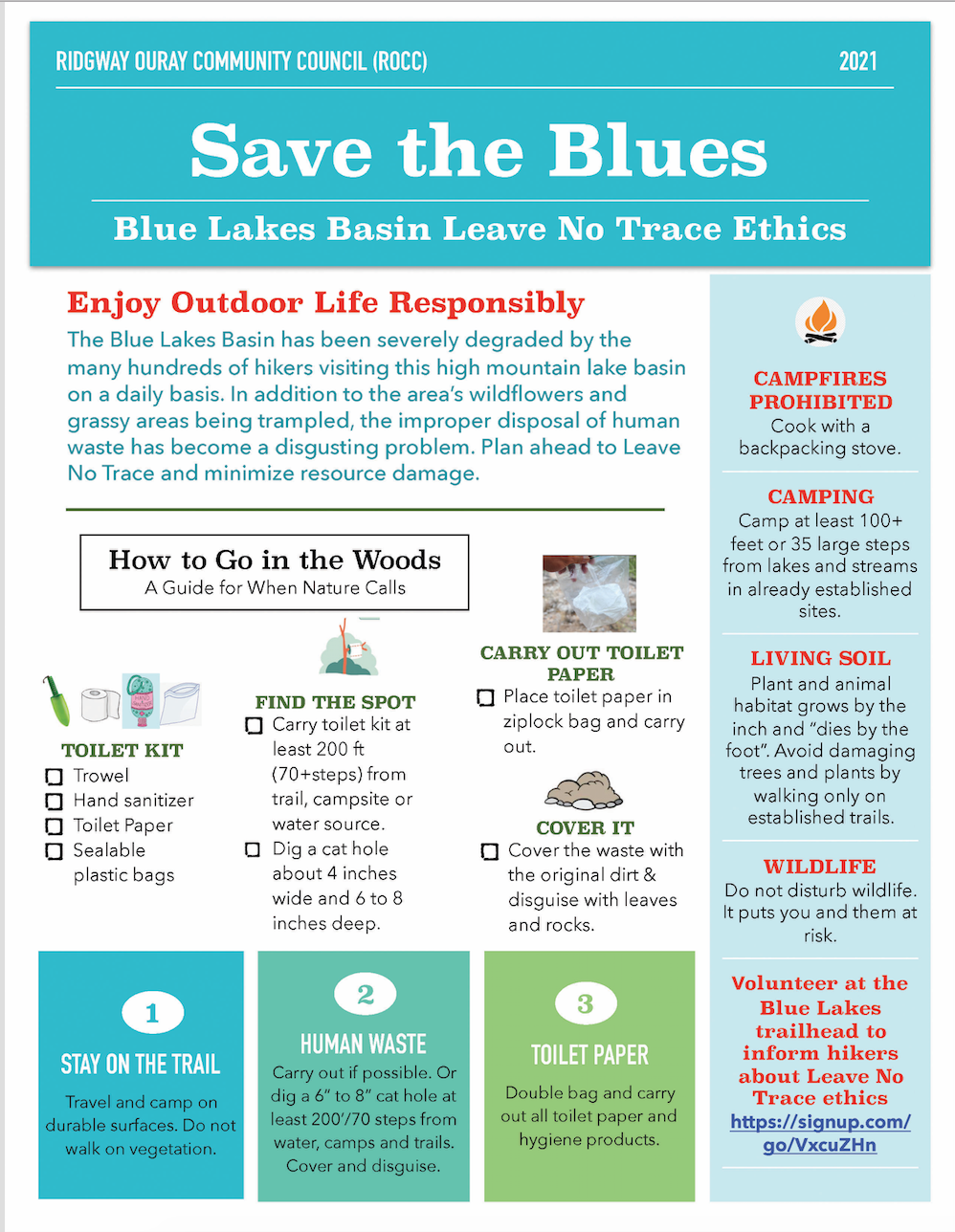
Hiking all the way to the Blue Lakes Pass is a round trip of 11.5 miles with an altitude gain of 3,600 feet. From there is it 2.0 miles to the trailhead in Yankee Boy Basin. More information about the Wilderness can be found on the Hiking Trails of Ouray County map and guide. If you are camping, take a stove--do not cut wood!
TRAILHEAD (Yankee Boy Basin):
Take the Camp Bird Road (CR 361) south of Ouray to near the Camp Bird mine. Stay right at the turnoff for the Camp Bird Mine. It is not advisable for large cars to go beyond this point, and there may be large rocks on the road. 4WD is recommended. The road to Imogene Pass goes left 0.6 mile from Camp Bird. Soon, ahead to your left, you wil see the ruins of the Atlas Mill; across from it is space for parking beside the road. This is a good stopping place for cars with two-wheel drive. At a fork 2.2 miles from Camp Bird, the road to Yankee Boy Basin goes right; Governor Basin is to the left. The road beyond is safe only with high-clearance 4WD vehicles.
If you are driving beyond the fork, parking spaces can be found after about 0.8 mile. A toilet facility is located there. Farther on, parking is possible along several side roads or spurs. This land is fragile--please park only on firm bare ground to avoid loss of plants and flowers.
At about 0.5 mile beyond the toilet facility is the last side road going left (south), and the road begins a steady climb. After 0.3 mile, the road may be closed to vehicles by a chain, depending on the season and road conditions ahead. There is a turnaround just before the closure.
ATTRACTIONS AND FEATURES:
Yankee Boy Basin is renowned for its wildflower displays and alpine vistas. The two branches of the Blue Lakes Trail take you up to Blue Lake Pass at 13,000 feet, where views of the three lakes and surrounding mountains are magnificent.
From the last side road, it is 0.45 mile to a junction where you choose between the trail straight ahead or the road switchbacking right. The trail is more scenic, going past flower-covered slopes up to Wright's Lake, this trail joins the branch from the road in 1.2 miles; then it is 0.4 mile to the Pass. When you approach the open area at a cabin site above the lake, follow the road down by the lake to a cairn where the trail goes left.
SPECIAL PRECAUTIONS:
Be prepared for rapid changes in weather in this high basin. Often you cannot see a storm coming until the last minute. It is a big area; do not let people in your group wander off out of sight.
- Hits: 74951
