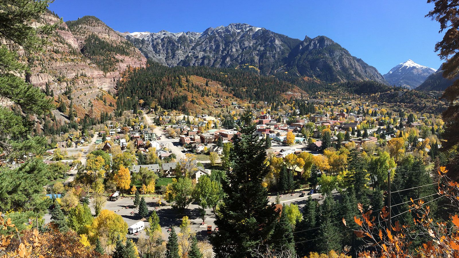
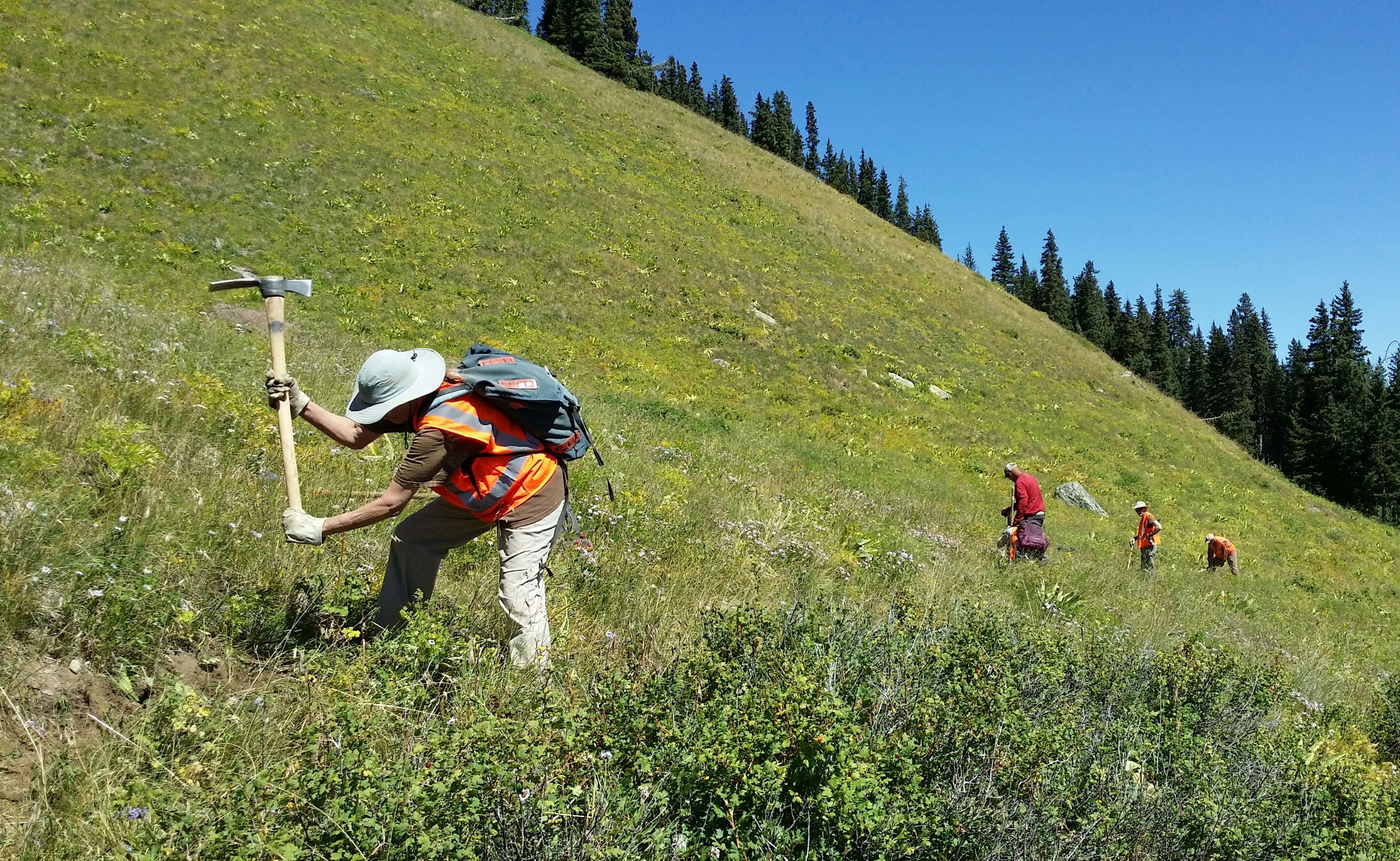
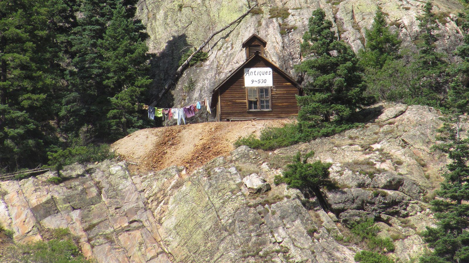
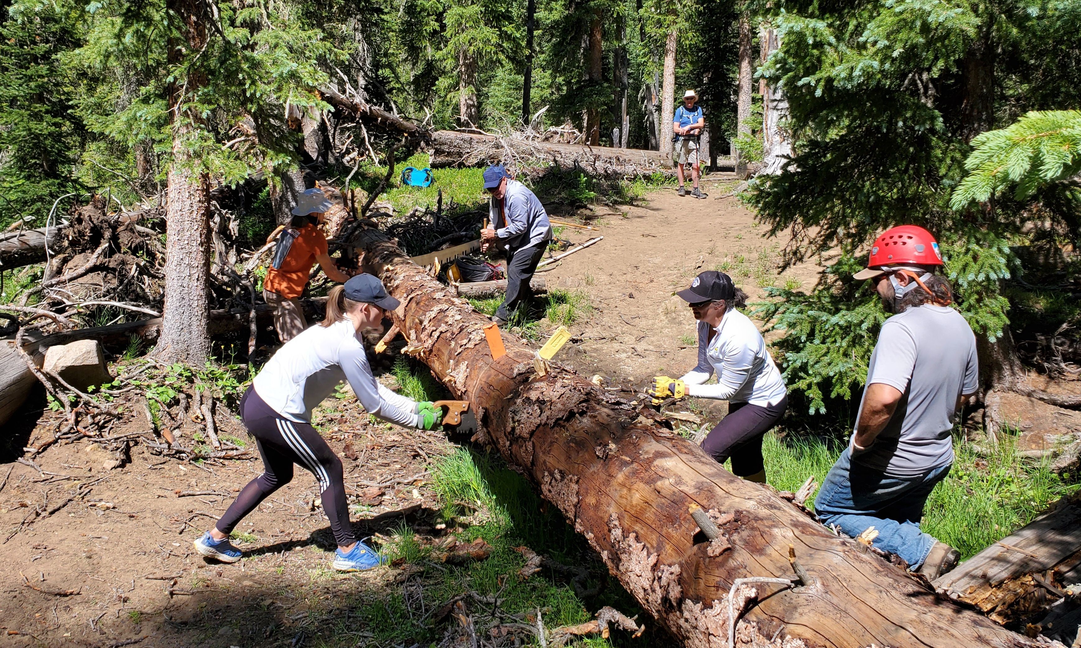
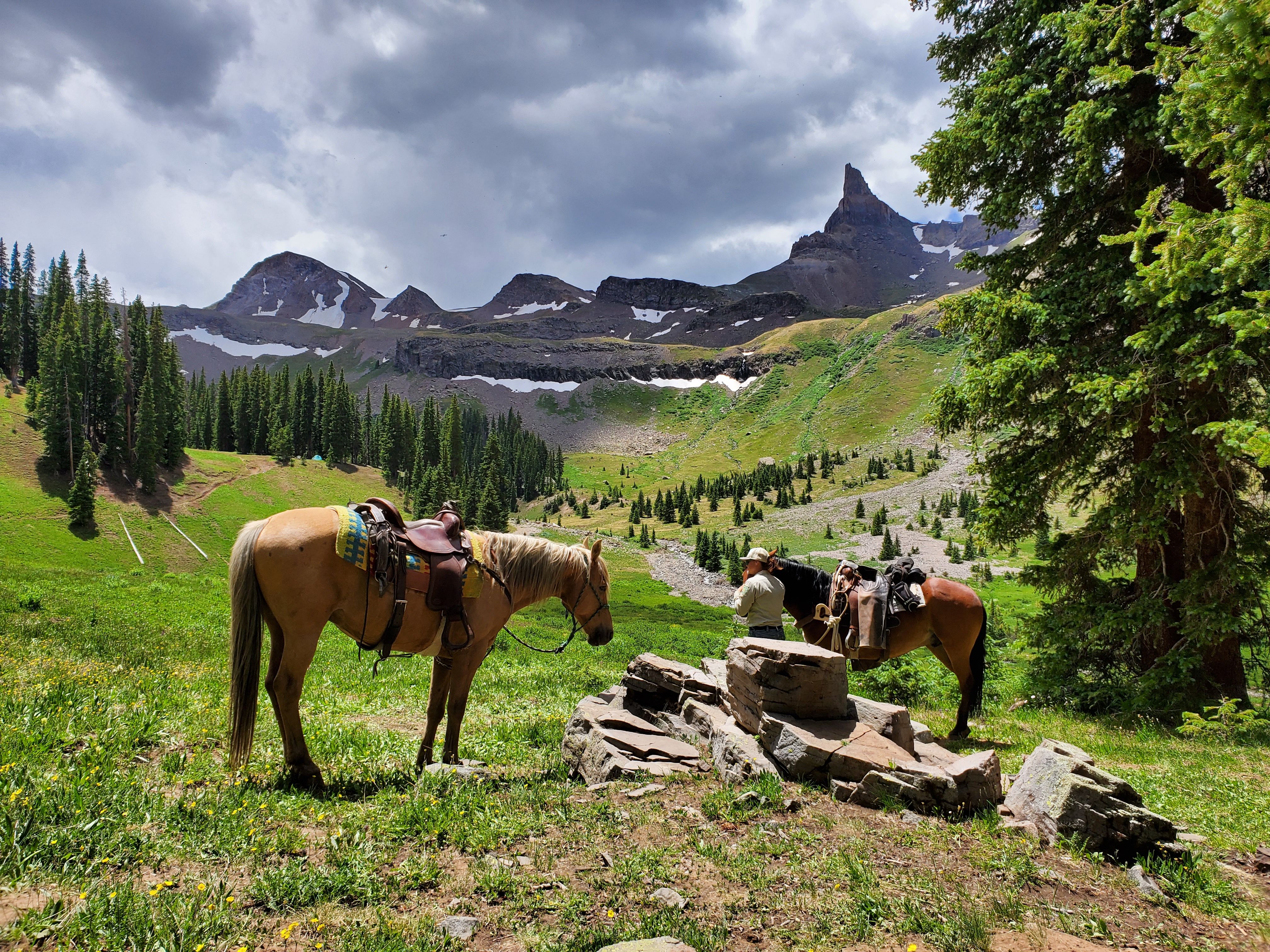
The Ouray Trail Group is a non-profit corporation of volunteers, founded in 1986, dedicated to the preservation and safe public use of Ouray area hiking trails. Our members take a stewardship role in protecting, preserving and maintaining the natural and recreational resources we all enjoy.
This site provides information about the Ouray Trail Group and the hiking trails we maintain in the Ouray area. Exploring this website will give the visitor a sense of the incredible scenery and history to be discovered along these trails. The Ouray Trail Group map and hiking guide, offered for sale here, provide an essential reference for hiking this rugged and complex terrain, and sales support OTG's trail maintenance and construction efforts.
Trail Closures
Hiking Trail Conditions Update
Covering Trails near Ouray, Ridgway, and the Cimarrons June 30, 2022
The Richmond Trail from the Highway 550 Trailhead to the junction with the Full Moon Trail is closed by the U.S. Forest Service until December to protect public safety during reclamation of the nearby Irene Mine. The upper Richmond Trail and Richmond Pass can be reached via the Full Moon Trail. To our knowledge, all other trails in our area are open and accessible.
Trails and roads to trailheads at all elevations are mostly snow-free, but a few snow or ice patches may persist in shaded or drifted areas above treeline. Streams are mostly running at normal flows and are crossable on roads and trails, but always be aware of flooding, rockfall, and of course lightning hazard from rainstorms that are now frequent.
Trail Conditions
U.S. Forest Service contractors, volunteers of the Ouray Trail Group, and other Forest Service collaborators have cleared down trees, brush, and debris from most trails near Ouray and in the Highway 550 and County Road 361 corridors, and some trails farther afield in the Uncompahgre Wilderness. Some specific trail conditions to note:
Baldy Peak area trails (Baldy, Okeson, Shortcut, Left Fork Cutler, and Cutler Creek Trails)- Several down trees on the trail require care to pass over or around.
Bear Creek Trail- A rough section remains about 2.3 miles up from Highway 550 Trailhead, where the trail crosses a steep debris slope above the creek. Rough repairs have been made, but use extreme caution crossing this section.
Blue Lakes Trail-open throughout. In July expect a Forest Service contracted work crew on the trail between the County Road 7 Trailhead and Blue lakes Pass. The trail on the steep alpine slope east of the pass is damaged by rockslides and debris flows and has poor footing. Use extreme caution passing this section.
The membership of the Ouray Trail Group is voluntary, and new members are always welcome. To join OTG and be placed on an email list to receive notice of meeting dates, projects, and more, click below.
video created by Jason Takacs
PO Box 50 | Ouray, CO 81427 | https://ouraytrails.org | ouray.otg@gmail.com
We are a non-profit corporation of volunteers, founded in 1986, dedicated to the preservation and safe public use of Ouray area trails, working in cooperation with the U.S. Forest Service, Ouray Ranger District. Copyright 2021 Ouray Trail Group.
Designed and maintained by OTG Volunteers! Hosted by PMC.